While we’re still moving along on our Save the City project in the background, we’re also continuing to look ahead to other projects and deadlines coming up. Tuesday mornings are always a really good productive time, and this week was no exception.
While we wait for our ribbons and postcards to arrive for the upcoming Sites of Apology / Sites of Hope event, we’re looking into CAFKA and the ANTI 2010 festival, both of which could be a lot of fun and give us a chance to go and play in other cities.
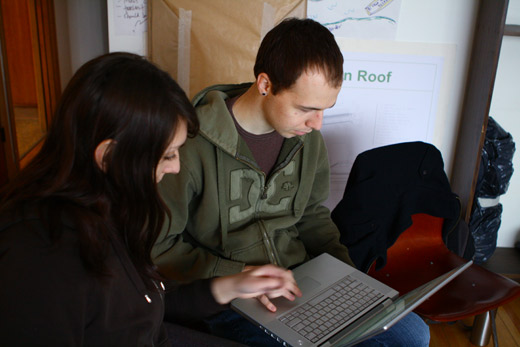
Michelle and Josh read over the calls for submissions for post festivals.
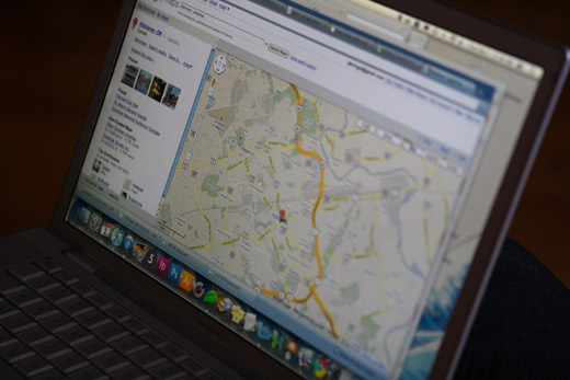
They start with CAFKA and turn to Google Maps to look at the area — it seems more often than not that we use tools like this to understand the city (albeit in a very specific and cartographic way), but it works. We immediately became curious about the proximity between the cities.
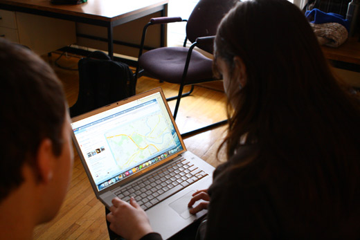
Michelle looking for some potential sites that we might setup shop in the KW area.
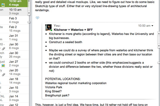
We wondered about constructing some kind of structure that could act as a point of interaction — we’d plan to do some kind of intensive interview-based research around the idea of Kitchener and Waterloo as one large neighbourhood. We’re curious about this because of our continued interest in the idea of Windsor / Detroit as one big neighbourhood.
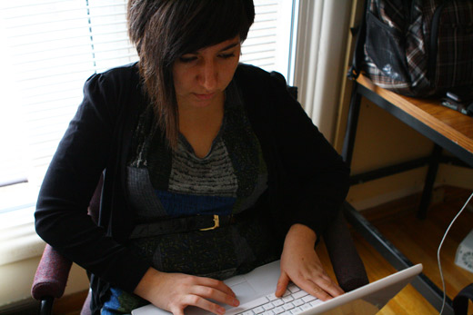
Meanwhile, Cristina starts to look up Finland via Google maps as well. The ANTI festival is based on text and site specificity.
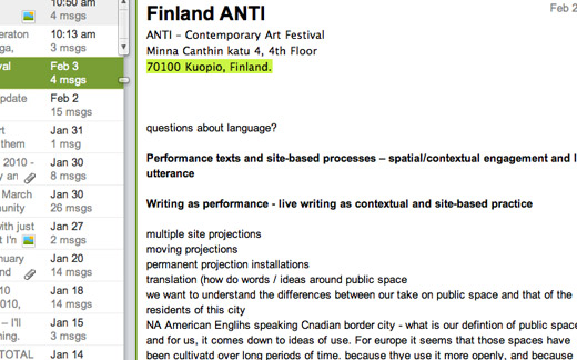
We started to brainstorm.
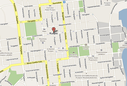
Here’s the city of Kuopio, where the ANTI festival takes place — the size looks very manageable.
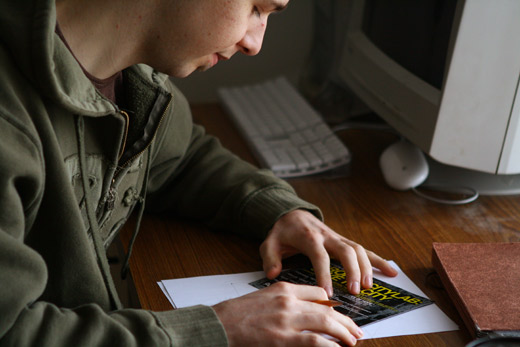
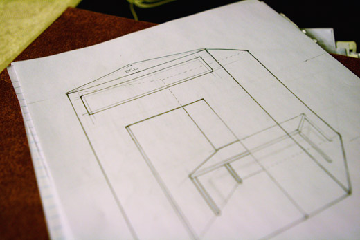
Josh was also drawing the first iteration of an idea for the CAFKA proposal structure.
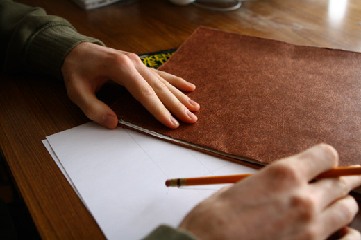
While not equipped with the exact tools he needed (like a ruler)…
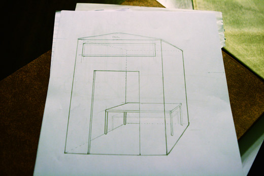
Josh still produced a very functional first drawing to get our brains working on what this structure might look like and how exactly it will work. I think Josh and Rosina are also going to attempt to learn some basics in SketchUp … something I’ve long hoped to do, but just haven’t been able to yet.