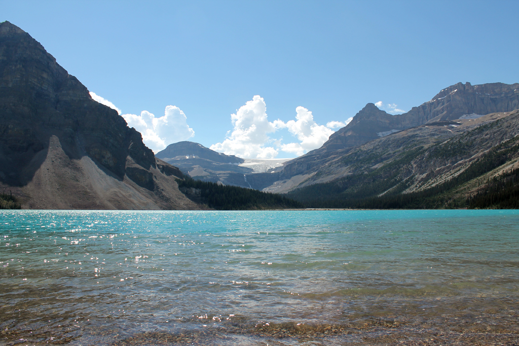
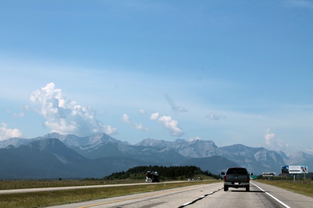
Over the weekend, we took a trip out to the Bow Glacier to see first hand where Calgary’s only water source begins. The three hour drive proved to be rather scenic with beautiful mountains in the background.
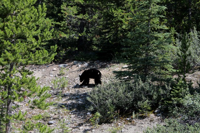
Anticipating the scary scenario of encountering a bear, we equipped ourselves with a bear bell and bear spray. Both those items became useless when we spotted a bear and her cub on the side of the Trans Canada Highway. The black bear was so uninterested in us taking photos, she never looked up at us and just wandered back into the forest. I guess they’re not as scary as we thought.
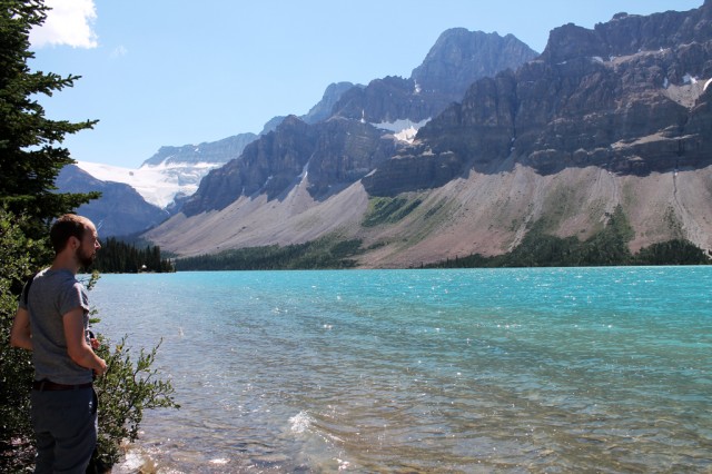
Josh getting his first glimpse of the Bow Glacier.

After spending a few minutes staring at the glacier, we realized that we still had to hike to the top.
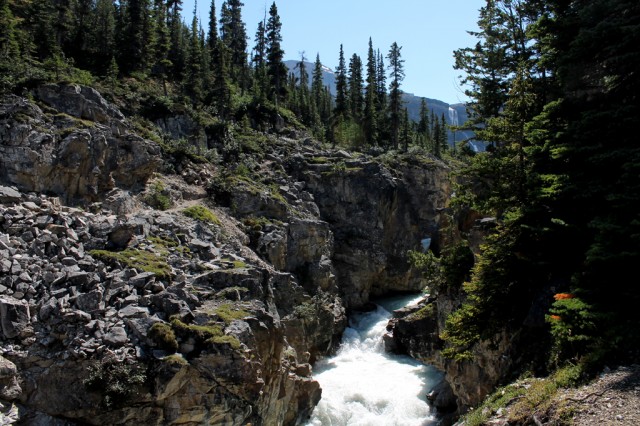
About an hour later, we arrived to the top of the waterfall. Seen above in the top right, this waterfall is spilling glacier water directly down into the Bow Lake and eventually feeding the Bow River. It’s pretty amazing to imagine the distance the water travels; from the glacier all the way to the homes and gardens of Calgarians. The theme of time, flow, and repetition keep coming up in our research.
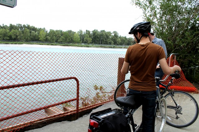
Yesterday, Randy Niessen, the Programming Coordinator at TRUCK Contemporary Art in Calgary and the Project Implementation and Development Lead for WATERSHED+, took us on a bike ride to see what’s left of the damage that the flood left behind.
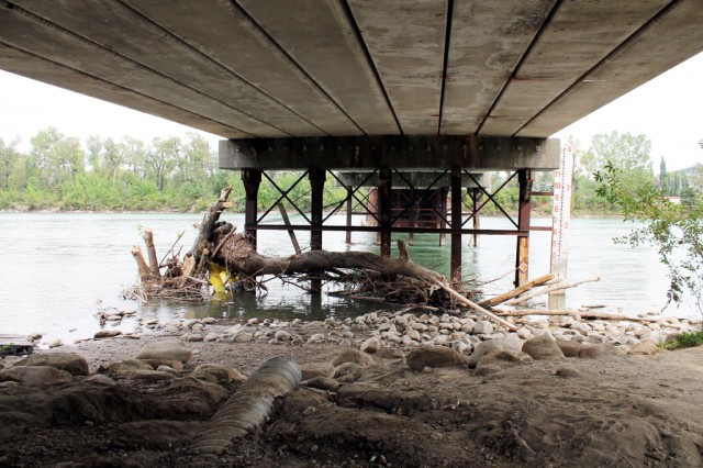
Above: The 10 foot mark on the meter next to the bridge is how high the river rose in this area.
Trees completely ripped out of the ground.
Temporary fences mend the completely eroded trail.
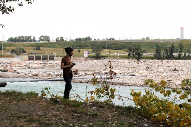
Josh observing the wreckage. Behind him, once cemented stones have been completely ripped out of the ground.
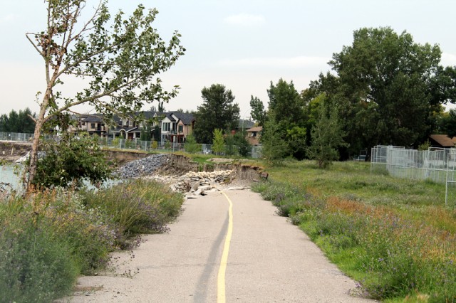
This part of the trail is now completely gone.
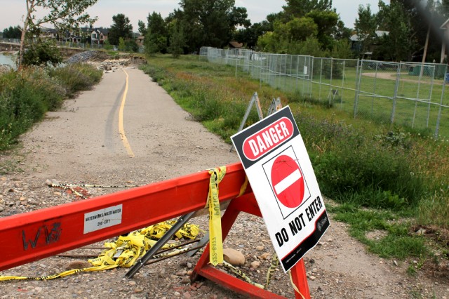
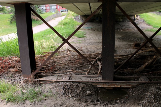
A lot of sites throughout Calgary are still under repair. However, it’s quite amazing to note that the majority of flood issues were taken care of during the first week after the flood.
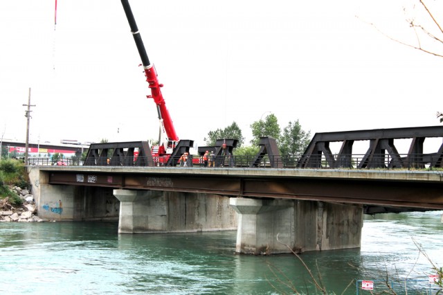
This bridge collapsed as the water rose and began eroding it. A cargo train was crossing over at the same time and it took search and rescue crews 12 hours to back the train safely off the bridge. They’re still working on its reconstruction.
More soon.